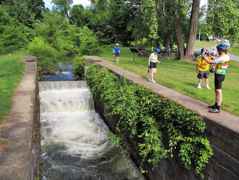
From I-87, take exit 18 and go east on Broad Street to Richardson Street (the first light). Go south 0.5 miles on Richardson Street from traffic light at Richardson and Broad Streets. The Adirondack/Glens Falls Transportation Council has an excellent map and the Feeder Canal Alliance has it’s own Walking Map & Trail Guide as well.
Feeder Dam
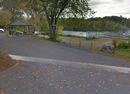
Parking for a few cars is available near the gates on Richardson Street. Cross the footbridge to the towpath, making sure to look at the Feeder Dam and the remains of Lock 14, the only Feeder Canal lock in Warren County. Heading east, the towpath includes views of the Hudson River and woodlands.
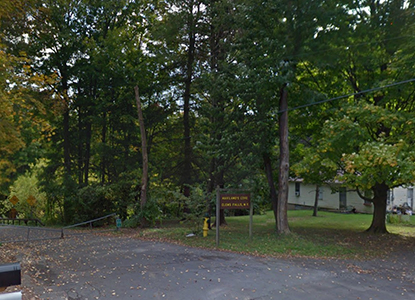
Haviland Cove & Pruyn's Island
The first bridge crossing the canal is at Bush Street. The canal and its towpath form the north boundary for Pruyn’s Island. The berm bank used to be stacked with drying lumber from the sawmills. During the 19th century, the island was inhabited by many workers.
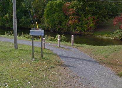
Murray Street
Just a couple of blocks before you reach the Murray Street bridge, you will see a shallow basin across the canal to your left. The next section of the towpath hugs the river and approaches Glen Street (Route 9). The Glens Falls commercial boat basin was just east of the red brick building on the left.
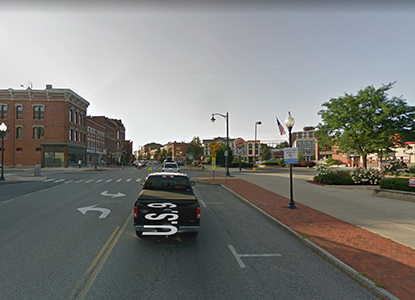
Glen Street
Notice at the bottom of the falls in the Hudson river the rock formation known as Cooper’s Cave, a site made famous in James Fenimore Cooper’s novel The Last of the Mohicans. At the Finch Paper parking lot, please follow signs which direct trail users to an one mile detour on city streets. Take a left onto Glen Street and then take a right into the Civic Center parking lot and head east through the short parking lot until you take a left onto Church Street. This will lead you to Warren Street, which you take a right onto and follow past the Hyde Collection to Shermantown Road.
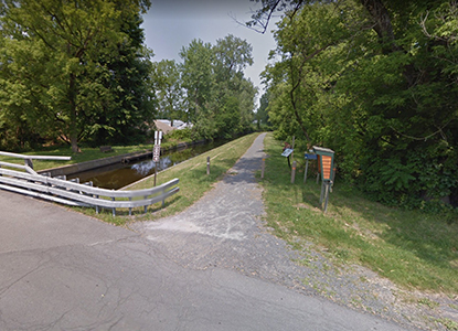
Shermantown Road
Take a right on Shermantown Road to return to the Feeder Canal towpath. After crossing the bridge, turn left, and continue east along the towpath. To your right you will see the stone work and ruins of a series of lime kilns. At one time there was more than 83 lime kilns. Jointa Lime, now behind you, dates back almost to the beginning of the canal. After a pleasant walk around “the big bend”, you are approaching Glens Falls Portland Cement which straddles the canal. The loading dock is still intact under you, remains of a huge scale are imbedded in the towpath there.
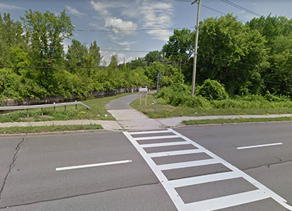
River Street
When the towpath reaches River Street, it's important you cross with the light. Back on the towpath you pass the Ciba-Geigy treatment plant, heading for the county line. The bridge coming up has many names; Quarry Crossing, County Line Bridge, and Warren Street Bridge. As you enter Washington County, the canal crosses Cold Spring Brook via stone aqueduct visible from the north side. As you approach the Whitehall Bridge (Route 4) you can stop for an ice cream at Jack and Jill’s Ice Cream stand in Murray Park, Hudson Falls. At Route 4, cross at the traffic light to the left.
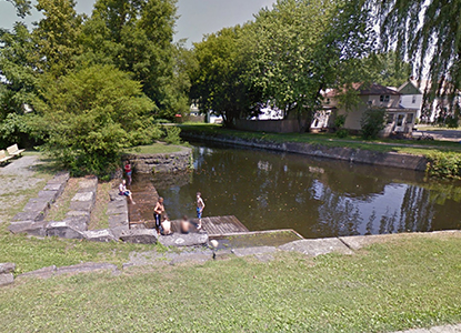
Martindale Avenue & the Martindale Boat Basin
You will approach the Martindale Bridge and the Martindale Boat Basin on your right. Enjoy the wonderful park with picnic tables and park benches. Continue on the towpath, cross Maple Street and Pearl Street. Just before the Pearl Street Bridge is Lock #13.
Burgoyne Avenue
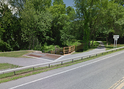
Approaching Burgoyne Avenue Bridge, you pass Lock #12 and #11. Next, locks (#10-#6) aka the Five Combines, are across Burgoyne Avenue. Picnic tables are available here. The towpath continues east toward the T-Bridge and pass the last five locks of the Feeder Canal. The T-Bridge is where the Feeder Canal flows into the Old Champlain Canal.
Mullen Park
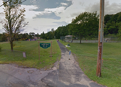
Take a right and follow the trail south. About one mile down the trail there will be three bollards in the road. Pass through these and continue down the trail past a farm. Eventually, you will pass Energy Park on your left. The trail continues a little further until it ends at Mullen Park in Fort Edward.
Ways To Help
Make your contribution to help support recreational activities, environmental programs and preserving this historic resource. Contributions can be made directly to the Feeder Canal Alliance in the form of cash, check, credit card or pay pal when clicking on the link below. Contributions are tax deductible and, unless otherwise designated, and are allocated to the general fund.
